Hello, welcome to Nanjing Longce surveying and Mapping Technology Co., Ltd!
语言选择:  ∷
∷ 
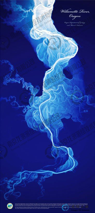
∷ ∷ The Willamette River, flowing through Oregon from the Cascade Mountains, joins the Columbia River.The State's Department of Geology and Mining (DOGAMI) recently released a lidar scan of the riverbed of the Villamet, revealing thousands of years of changes in the river's course.The image above shows a scanning range of about 50 feet from the bottom (white) to dark blue.The two direct currents to the left and right of the River into the Villamet are the Luckiamute and the Santiam.
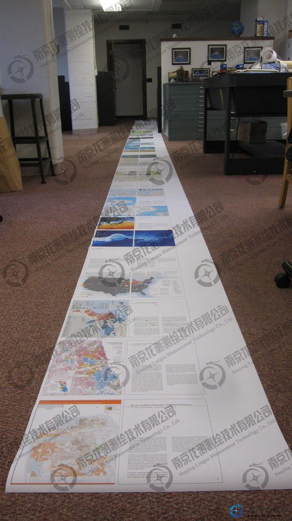
This beautiful image is from Atlas of Design, a semiannual publication of the North American Cartographic Society.If you look at their offices, you should understand what the institution does: draw the best map in the world.
 Sweep WeChat yards pay attention to us

Quotation and presentation requestliuchunlei@longce.net

The mobile phone+86 13851969931
Nanjing Longce Measurement Technology Co., Ltd Address:No.15 Xinghuo Road, Jiangbei new district, Nanjing,China. ICP:苏ICP备20044645号-1